Quick-start guide
Download the latest H2GIS web interface on the home page, unzip it and finally run the jar called h2-dist. Then click on Connect in the web interface. You will of course need a working Java runtime environment.
Command-line gurus, just execute the following commands:
~ $ wget https://github.com/orbisgis/h2gis/releases/download/v1.2.3/h2-dist-1.2.3-bin.zip -O h2gis.zip
~ $ unzip h2gis.zip
~ $ cd h2gis-standalone
~/h2gis-standalone $ java -jar h2-dist-1.2.3.jar
Initialize the H2GIS extension
If the user needs only the basic spatial functions it must apply the SQL syntax:
CREATE ALIAS IF NOT EXISTS H2GIS_SPATIAL FOR "org.h2gis.functions.factory.H2GISFunctions.load";
CALL H2GIS_SPATIAL();
Otherwise please run the command:
CREATE ALIAS IF NOT EXISTS H2GIS_EXTENSION FOR "org.h2gis.ext.H2GISExtension.load";
CALL H2GIS_EXTENSION();
To open a shape file and show its contents:
CALL FILE_TABLE('/home/user/myshapefile.shp', 'tablename');
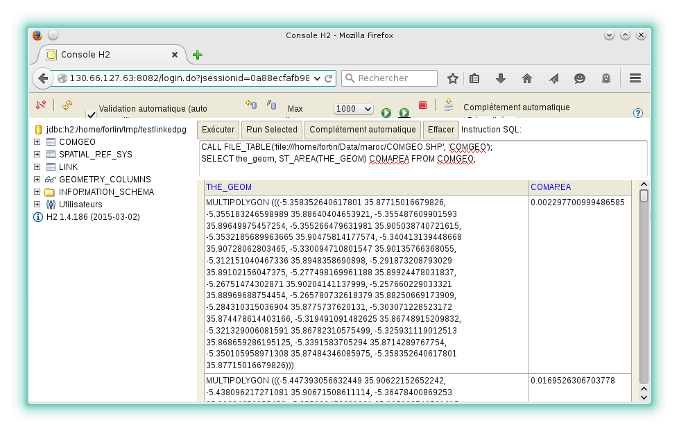
SELECT * FROM TABLENAME;Web interface
This is the built-in web interface of the H2 Database:
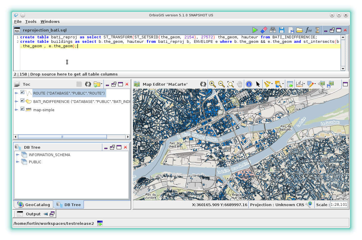
Graphical user interface
Software GUI that use H2GIS: